Drought-prone cities in the U.S. West are mapping snow by plane to refine their water forecasts
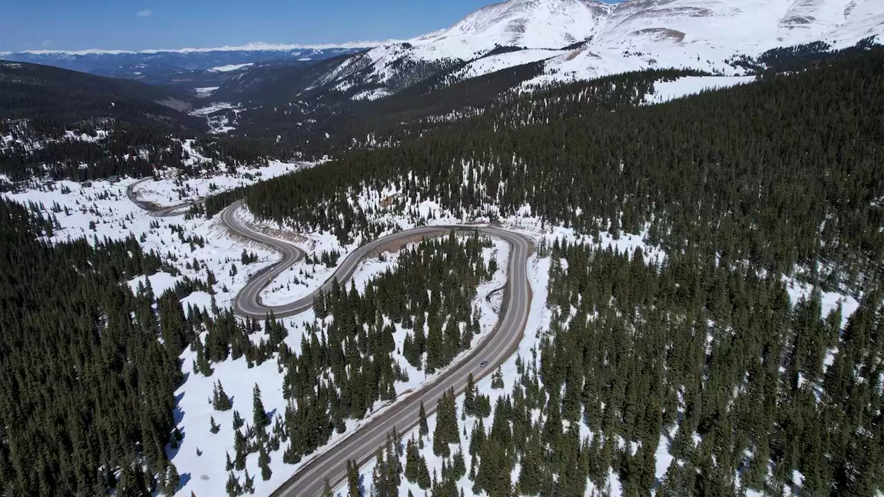
A road winds through the snow-covered Rocky Mountains at Hoosier Pass as seen from the air, Monday, April 18, 2022, near Blue River, Colo. Some drought-prone communities in the U.S. West are mapping snow by air to refine their water forecasts. It's one way water managers are adjusting as climate change disrupts weather patterns and makes current forecasting methods less reliable. GUNNISON, Colo.
For decades, Western U.S. states have been measuring snow through hundreds of remote sensing sites known as SNOTEL stations, which are operated by the federal Natural Resources Conservation Service. But as climate change causes rising temperatures, snow at those sites — at around 9,000 feet above sea level — is melting earlier than normal and pushing water managers to look for other ways to finetune forecasting methods.
Paul Miller, a hydrologist at the Colorado Basin River Forecast Center, said “removing uncertainty in one of the data points” can be critical in a water-stressed region. Meanwhile, SNOTEL sites are also undergoing upgrades that could result in more accurate modeling, said Karl Wetlaufer, who helps run the program. In coming years, the federal agency plans to expand the number of sites that include sensors for solar radiation, wind and soil moisture. But the stations still can't be moved to higher elevations, where wind can whip snow around exposed mountaintops and make it hard to measure, Wetlaufer said.
“We think it’s worth it to get more valuable and detailed information, but we can’t afford to fly as often as we’d like,” said Northern Water's Emily Carbone, who is heading up the group. The data indicated that as of mid-April, there was 369,000 acre-feet of water stored in snow above the reservoirs at the head of the Colorado River. Since it was the first time that region's snow was mapped by air, there are no historical trends for comparison. Carbone is still working to calculate how much of it could make it into the reservoir.
Deutschland Neuesten Nachrichten, Deutschland Schlagzeilen
Similar News:Sie können auch ähnliche Nachrichten wie diese lesen, die wir aus anderen Nachrichtenquellen gesammelt haben.
 Construction of sewage recycling pipeline expected to disrupt neighborhoods this summer, fallWork on Pure Water, the largest project in city history, will kick into high gear soon
Weiterlesen »
 Water main break causes significant flooding, sinkhole swallows car in Salt Lake CityA water main break caused significant flooding and a sinkhole that swallowed a car and flooded several homes in one Salt Lake City neighborhood on Tuesday morning.
Weiterlesen »